Canada Topographic Maps

West Prairie River Topo Maps

Topography maps and Latitude/Longitude Location

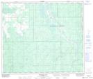
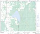
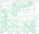
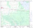
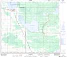
Maps showing West Prairie River, 14-75-17-W5, Alberta

West Prairie River is a River located in 14-75-17-W5, Alberta and has an elevation of 664 meters.

  • Latitude: 55° 30' 15'' North   (decimal: 55.5041666)
  • Longitude: 116° 31' 8'' West   (decimal: -116.5188889)
  • Topography Feature Category: River
  • Geographical Feature: River
  • Canadian Province/Territory: Alberta
  • Elevation: 664 meters
  • Location: 14-75-17-W5
  • Atlas of Canada Locator Map: West Prairie River
  • GPS Coordinate Locator Map: West Prairie River Lat/Long

West Prairie River NTS Map Sheets

083K16 Wallace River Topographic Map at 1:50,000 scale

083N01 Bellrose Lake Topographic Map at 1:50,000 scale

083N02 Snipe Lake Topographic Map at 1:50,000 scale

083N07 Triangle Topographic Map at 1:50,000 scale

083N08 High Prairie Topographic Map at 1:50,000 scale

083N10 Mclennan Topographic Map at 1:50,000 scale

083K Iosegun Lake Topographic Map at 1:250,000 scale

083N Winagami Topographic Map at 1:250,000 scale

 
Buy Topographic Maps DVD
Newsletter Sign-up

Yes, I want to receive map store discounts.


Bookmark and Share