Canada Topographic Maps

Ogden Topo Maps

Topography maps and Latitude/Longitude Location

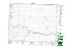
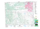
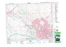
Maps showing Ogden, Alberta

Ogden is a Unincorporated area located in Alberta.

  • Latitude: 50° 59' 35'' North   (decimal: 50.9930555)
  • Longitude: 114° 0' 50'' West   (decimal: -114.0138888)
  • Topography Feature Category: Unincorporated area
  • Geographical Feature: Urban Community
  • Canadian Province/Territory: Alberta
  • Atlas of Canada Locator Map: Ogden
  • GPS Coordinate Locator Map: Ogden Lat/Long

Ogden NTS Map Sheets

082I13 Dalemead Topographic Map at 1:50,000 scale

082J16 Priddis Topographic Map at 1:50,000 scale

082O01 Calgary Topographic Map at 1:50,000 scale

082I Gleichen Topographic Map at 1:250,000 scale

082J Kananaskis Lakes Topographic Map at 1:250,000 scale

082O Calgary Topographic Map at 1:250,000 scale

 
Buy Topographic Maps DVD
Newsletter Sign-up

Yes, I want to receive map store discounts.


Bookmark and Share