Canada Topographic Maps

Municipal District of Taber Topo Maps

Topography maps and Latitude/Longitude Location

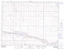
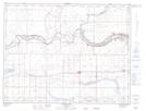
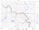
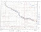
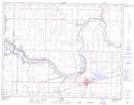
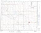
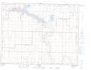
Maps showing Municipal District of Taber, 11-16-W4, Alberta

Municipal District of Taber is a Major municipal/district area - major agglomeration located in 11-16-W4, Alberta.

  • Latitude: 49° 56' 5'' North   (decimal: 49.9347222)
  • Longitude: 112° 4' 30'' West   (decimal: -112.0749999)
  • Topography Feature Category: Major municipal/district area - major agglomeration
  • Geographical Feature: Municipal District
  • Canadian Province/Territory: Alberta
  • Location: 11-16-W4
  • Atlas of Canada Locator Map: Municipal District of Taber
  • GPS Coordinate Locator Map: Municipal District of Taber Lat/Long

Municipal District of Taber NTS Map Sheets

072E12 Skiff Topographic Map at 1:50,000 scale

072E13 Grassy Lake Topographic Map at 1:50,000 scale

072L04 Hays Topographic Map at 1:50,000 scale

082H09 Chin Coulee Topographic Map at 1:50,000 scale

082H16 Taber Topographic Map at 1:50,000 scale

082I01 Vauxhall Topographic Map at 1:50,000 scale

082I02 Travers Topographic Map at 1:50,000 scale

072E Foremost Topographic Map at 1:250,000 scale

072L Medicine Hat Topographic Map at 1:250,000 scale

082H Lethbridge Topographic Map at 1:250,000 scale

082I Gleichen Topographic Map at 1:250,000 scale

 
Buy Topographic Maps DVD
Newsletter Sign-up

Yes, I want to receive map store discounts.


Bookmark and Share