Canada Topographic Maps

Port Alberni Topo Maps

Topography maps and Latitude/Longitude Location

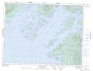
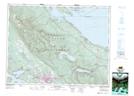
Maps showing Port Alberni, Alberni Land District, British Columbia

Port Alberni is a Bay located in Alberni Land District, British Columbia and has an elevation of 21 meters.

  • Latitude: 49° 14' 1'' North   (decimal: 49.2336111)
  • Longitude: 124° 49' 35'' West   (decimal: -124.826389)
  • Topography Feature Category: Bay
  • Geographical Feature: Port
  • Canadian Province/Territory: British Columbia
  • Elevation: 21 meters
  • Location: Alberni Land District
  • Atlas of Canada Locator Map: Port Alberni
  • GPS Coordinate Locator Map: Port Alberni Lat/Long

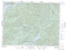
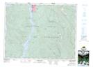
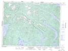
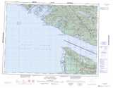
Port Alberni NTS Map Sheets

092C14 Barkley Sound Topographic Map at 1:50,000 scale

092C15 Little Nitinat River Topographic Map at 1:50,000 scale

092F02 Alberni Inlet Topographic Map at 1:50,000 scale

092F03 Effingham River Topographic Map at 1:50,000 scale

092F07 Horne Lake Topographic Map at 1:50,000 scale

092C Cape Flattery Topographic Map at 1:250,000 scale

092F Port Alberni Topographic Map at 1:250,000 scale

 
Buy Topographic Maps DVD
Newsletter Sign-up

Yes, I want to receive map store discounts.


Bookmark and Share