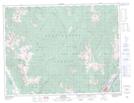
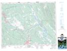
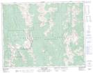
Maps showing East Wild Horse River, Kootenay Land District, British Columbia
East Wild Horse River is a River located in Kootenay Land District, British Columbia and has an elevation of 2183 meters.
- Latitude: 49° 44' 21'' North (decimal: 49.7391667)
- Longitude: 115° 30' 55'' West (decimal: -115.515278)
- Topography Feature Category: River
- Geographical Feature: River
- Canadian Province/Territory: British Columbia
- Elevation: 2183 meters
- Location: Kootenay Land District
- Atlas of Canada Locator Map: East Wild Horse River
- GPS Coordinate Locator Map: East Wild Horse River Lat/Long
East Wild Horse River NTS Map Sheets