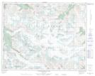
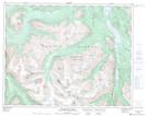
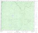
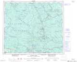
Maps showing Chapman Glacier, Lillooet Land District, British Columbia
Chapman Glacier is a Glacier located in Lillooet Land District, British Columbia and has an elevation of 2255 meters.
- Latitude: 50° 59' 42'' North (decimal: 50.9950000)
- Longitude: 123° 41' 00'' West (decimal: -123.6833000)
- Topography Feature Category: Glacier
- Geographical Feature: Glacier
- Canadian Province/Territory: British Columbia
- Elevation: 2255 meters
- Location: Lillooet Land District
- Atlas of Canada Locator Map: Chapman Glacier
- GPS Coordinate Locator Map: Chapman Glacier Lat/Long
Chapman Glacier NTS Map Sheets