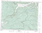
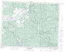
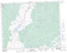
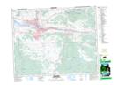
Maps showing Monte Hills, Kamloops Division Yale Land District, British Columbia
Monte Hills is a Mountain located in Kamloops Division Yale Land District, British Columbia and has an elevation of 704 meters.
- Latitude: 50° 26' 41'' North (decimal: 50.4447222)
- Longitude: 119° 59' 5'' West (decimal: -119.9847222)
- Topography Feature Category: Mountain
- Geographical Feature: Hills
- Canadian Province/Territory: British Columbia
- Elevation: 704 meters
- Location: Kamloops Division Yale Land District
- Atlas of Canada Locator Map: Monte Hills
- GPS Coordinate Locator Map: Monte Hills Lat/Long
Monte Hills NTS Map Sheets