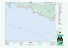
Maps showing Ballenas Trough, British Columbia
Ballenas Trough is a Shoal located in British Columbia.
- Latitude: 49° 15' North (decimal: 49.2500000)
- Longitude: 123° 43' West (decimal: -123.7167000)
- Topography Feature Category: Shoal
- Geographical Feature: Trough
- Canadian Province/Territory: British Columbia
- Atlas of Canada Locator Map: Ballenas Trough
- GPS Coordinate Locator Map: Ballenas Trough Lat/Long