Canada Topographic Maps

Dewdney-Alouette Regional District Topo Maps

Topography maps and Latitude/Longitude Location

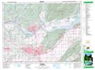
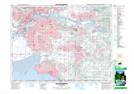
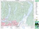
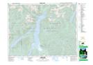
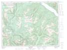
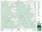
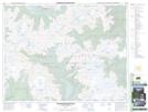
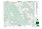
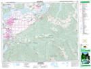
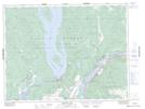
Maps showing Dewdney-Alouette Regional District, New Westminster Land District, British Columbia

Dewdney-Alouette Regional District is a Major municipal/district area - major agglomeration located in New Westminster Land District, British Columbia.

  • Latitude: 49° 30' North   (decimal: 49.5000000)
  • Longitude: 122° 20' West   (decimal: -122.3333000)
  • Topography Feature Category: Major municipal/district area - major agglomeration
  • Geographical Feature: Regional District
  • Canadian Province/Territory: British Columbia
  • Location: New Westminster Land District
  • GPS Coordinate Locator Map: Dewdney-Alouette Regional District Lat/Long

Dewdney-Alouette Regional District NTS Map Sheets

092G01 Mission Topographic Map at 1:50,000 scale

092G02 New Westminster Topographic Map at 1:50,000 scale

092G07 Port Coquitlam Topographic Map at 1:50,000 scale

092G08 Stave Lake Topographic Map at 1:50,000 scale

092G09 Stave River Topographic Map at 1:50,000 scale

092G10 Pitt River Topographic Map at 1:50,000 scale

092G15 Mamquam Mountain Topographic Map at 1:50,000 scale

092G16 Glacier Lake Topographic Map at 1:50,000 scale

092H04 Chilliwack Topographic Map at 1:50,000 scale

092H05 Harrison Lake Topographic Map at 1:50,000 scale

092G Vancouver Topographic Map at 1:250,000 scale

092H Hope Topographic Map at 1:250,000 scale

 
Buy Topographic Maps DVD
Newsletter Sign-up

Yes, I want to receive map store discounts.


Bookmark and Share