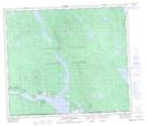
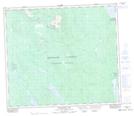
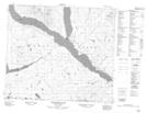
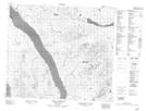
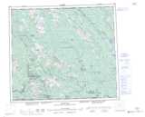
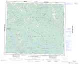
Maps showing Northwest Arm, Cassiar Land District, British Columbia
Northwest Arm is a Bay located in Cassiar Land District, British Columbia and has an elevation of 691 meters.
- Latitude: 55° 12' 30'' North (decimal: 55.2082999)
- Longitude: 125° 55' 20'' West (decimal: -125.9222000)
- Topography Feature Category: Bay
- Geographical Feature: Arm
- Canadian Province/Territory: British Columbia
- Elevation: 691 meters
- Location: Cassiar Land District
- Atlas of Canada Locator Map: Northwest Arm
- GPS Coordinate Locator Map: Northwest Arm Lat/Long
Northwest Arm NTS Map Sheets