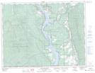
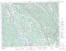
Maps showing Plumbob Mountain, Kootenay Land District, British Columbia
Plumbob Mountain is a Mountain located in Kootenay Land District, British Columbia and has an elevation of 1562 meters.
- Latitude: 49° 15' 5'' North (decimal: 49.2513888)
- Longitude: 115° 24' 45'' West (decimal: -115.4124999)
- Topography Feature Category: Mountain
- Geographical Feature: Mountain
- Canadian Province/Territory: British Columbia
- Elevation: 1562 meters
- Location: Kootenay Land District
- Atlas of Canada Locator Map: Plumbob Mountain
- GPS Coordinate Locator Map: Plumbob Mountain Lat/Long
Plumbob Mountain NTS Map Sheets