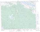
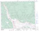
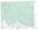
Maps showing Deadman's Creek Indian Reserve, Kamloops Division Yale Land District, British Columbia
Deadman's Creek Indian Reserve is a Indian Reserve located in Kamloops Division Yale Land District, British Columbia.
- Latitude: 50° 48' North (decimal: 50.8000000)
- Longitude: 120° 57' West (decimal: -120.9499999)
- Topography Feature Category: Indian Reserve
- Geographical Feature: Indian Reserve
- Canadian Province/Territory: British Columbia
- Location: Kamloops Division Yale Land District
- GPS Coordinate Locator Map: Deadman's Creek Indian Reserve Lat/Long
Deadman's Creek Indian Reserve NTS Map Sheets