Canada Topographic Maps

Duncan Ranges Topo Maps

Topography maps and Latitude/Longitude Location

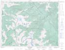
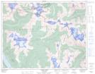
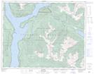
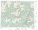
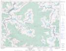
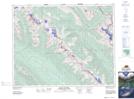
Maps showing Duncan Ranges, Kootenay Land District, British Columbia

Duncan Ranges is a Mountain located in Kootenay Land District, British Columbia and has an elevation of 2303 meters.

  • Latitude: 50° 51' 0'' North   (decimal: 50.85)
  • Longitude: 117° 29' 00'' West   (decimal: -117.483333)
  • Topography Feature Category: Mountain
  • Geographical Feature: Ranges
  • Canadian Province/Territory: British Columbia
  • Elevation: 2303 meters
  • Location: Kootenay Land District
  • Atlas of Canada Locator Map: Duncan Ranges
  • GPS Coordinate Locator Map: Duncan Ranges Lat/Long

Duncan Ranges NTS Map Sheets

082K06 Poplar Creek Topographic Map at 1:50,000 scale

082K10 Howser Creek Topographic Map at 1:50,000 scale

082K12 Beaton Topographic Map at 1:50,000 scale

082K13 Camborne Topographic Map at 1:50,000 scale

082K14 Westfall River Topographic Map at 1:50,000 scale

082N01 Mount Goodsir Topographic Map at 1:50,000 scale

082K Lardeau Topographic Map at 1:250,000 scale

082N Golden Topographic Map at 1:250,000 scale

 
Buy Topographic Maps DVD
Newsletter Sign-up

Yes, I want to receive map store discounts.


Bookmark and Share