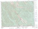
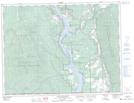
Maps showing Phillipps Creek, Kamloops Division Yale Land District, British Columbia
Phillipps Creek is a River located in Kamloops Division Yale Land District, British Columbia.
- Latitude: 48° 60' 00'' North (decimal: 48.9999998)
- Longitude: 115° 3' 40'' West (decimal: -115.0611109)
- Topography Feature Category: River
- Geographical Feature: Creek
- Canadian Province/Territory: British Columbia
- Location: Kamloops Division Yale Land District
- Atlas of Canada Locator Map: Phillipps Creek
- GPS Coordinate Locator Map: Phillipps Creek Lat/Long
Phillipps Creek NTS Map Sheets