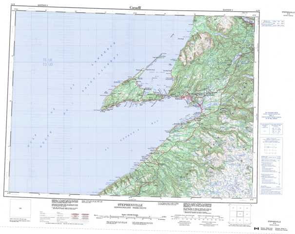
012B Stephenville Topographic Maps
Maps for the Stephenville map sheet 012B at 1:250,000 scale are available in 5 versions:
Topographic Map of Stephenville
1:50,000 Scale Topos for Stephenville 012B:
 |
 |
||
 |
 |
 |
|
 |
 |
 |
|
 |
 |
 |
012B Related Maps:
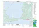
012B Stephenville
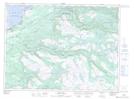
012B01 Dashwoods Pond
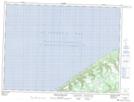
012B02 St Fintan's
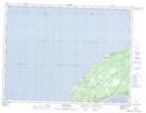
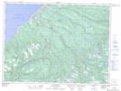
012B03 Little Friars Cove
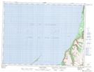
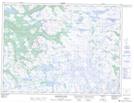
012B06 Cape St George
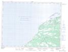
012B07 Flat Bay
012B08 Main Gut
012B09 Harrys River
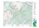
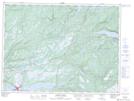
012B10 Stephenville
012B11 Mainland
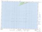
012B15 Shag Island
012B16 Georges Lake
012B01 Dashwoods Pond
012B02 St Fintan's
012B03 Little Friars Cove
012B06 Cape St George
012B07 Flat Bay
012B08 Main Gut
012B09 Harrys River
012B10 Stephenville
012B11 Mainland
012B15 Shag Island
012B16 Georges Lake
