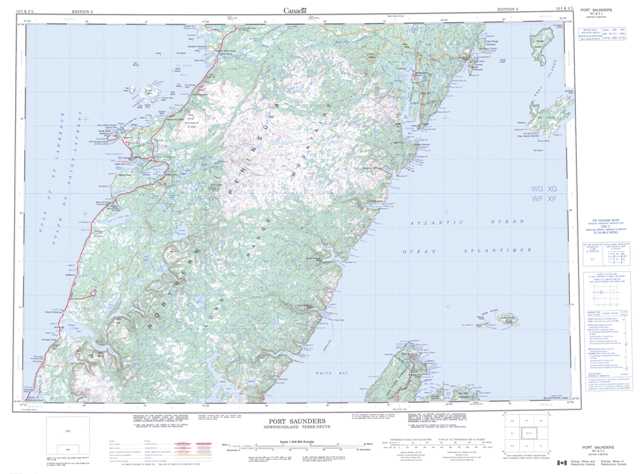
012I Port Saunders Topographic Maps
Maps for the Port Saunders map sheet 012I at 1:250,000 scale are available in 5 versions:
Topographic Map of Port Saunders
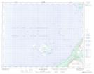
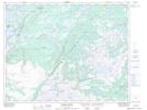
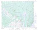
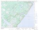
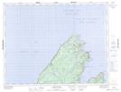
1:50,000 Scale Topos for Port Saunders 012I:
 |
 |
 |
|
 |
 |
 |
|
 |
 |
 |
|
 |
 |
 |
 |
012I Related Maps:
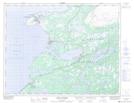
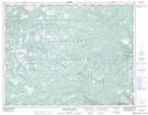
012I Port Saunders
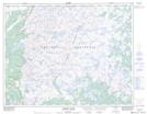
012I01 Fleur De Lys
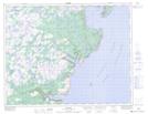
012I02 Cat Arm River
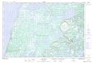
012I03 Indian Lookout
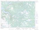
012I04 Portland Creek
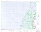
012I06 Bellburns
012I07 Soufflets River
012I08 Great Harbour Deep
012I09 Englee
012I10 Torrent River
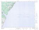
012I11 Port Saunders
012I14 St John Island
012I15 Castors River
012I16 Roddickton
012I01 Fleur De Lys
012I02 Cat Arm River
012I03 Indian Lookout
012I04 Portland Creek
012I06 Bellburns
012I07 Soufflets River
012I08 Great Harbour Deep
012I09 Englee
012I10 Torrent River
012I11 Port Saunders
012I14 St John Island
012I15 Castors River
012I16 Roddickton
