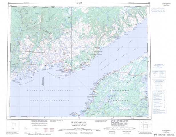
012P Blanc-Sablon Topographic Maps
Maps for the Blanc-Sablon map sheet 012P at 1:250,000 scale are available in 5 versions:
Topographic Map of Blanc-Sablon
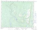
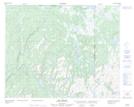
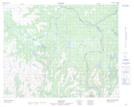
1:50,000 Scale Topos for Blanc-Sablon 012P:
 |
 |
 |
 |
 |
 |
 |
 |
 |
 |
 |
 |
 |
 |
012P Related Maps:
012P Blanc-Sablon
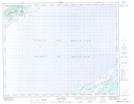
012P01 Salmon River
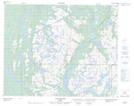
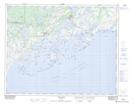
012P02 Brig Bay
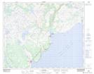
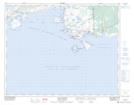
012P05 Vieux-Fort
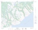
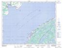
012P06 Blanc-Sablon
012P07 Flower's Cove
012P08 Eddies Cove
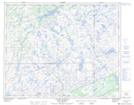
012P09 Big Brook
012P10 Pinware
012P11 Collines De Brador
012P12 Lac Delage
012P13 Ruisseau Chanion
012P14 Lac Senac
012P15 No Title
012P16 Barge Bay
012P01 Salmon River
012P02 Brig Bay
012P05 Vieux-Fort
012P06 Blanc-Sablon
012P07 Flower's Cove
012P08 Eddies Cove
012P09 Big Brook
012P10 Pinware
012P11 Collines De Brador
012P12 Lac Delage
012P13 Ruisseau Chanion
012P14 Lac Senac
012P15 No Title
012P16 Barge Bay
