041J Blind River Topographic Maps
Maps for the Blind River map sheet 041J at 1:250,000 scale are available in 5 versions:
Topographic Map of Blind River

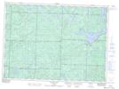
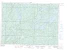
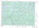
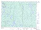
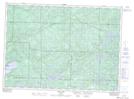
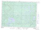
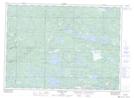
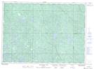
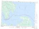
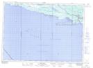
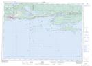
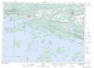
1:50,000 Scale Topos for Blind River 041J:
 |
 |
 |
 |
 |
 |
 |
 |
 |
 |
 |
 |
 |
 |
 |
 |
041J Related Maps:
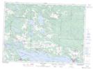
041J Blind River
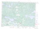
041J01 Spanish
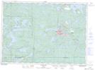
041J02 Algoma
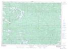
041J03 Dean Lake
041J04 St Joseph Island
041J05 Bruce Mines
041J06 Iron Bridge
041J07 Elliot Lake
041J08 Whiskey Lake
041J09 Madawanson Lake
041J10 Rawhide Lake
041J11 Wakomata Lake
041J12 Echo Lake
041J13 Ranger Lake
041J14 Rocky Island Lake
041J15 Kindiogami Lake
041J16 Mozhabong Lake
041J01 Spanish
041J02 Algoma
041J03 Dean Lake
041J04 St Joseph Island
041J05 Bruce Mines
041J06 Iron Bridge
041J07 Elliot Lake
041J08 Whiskey Lake
041J09 Madawanson Lake
041J10 Rawhide Lake
041J11 Wakomata Lake
041J12 Echo Lake
041J13 Ranger Lake
041J14 Rocky Island Lake
041J15 Kindiogami Lake
041J16 Mozhabong Lake
