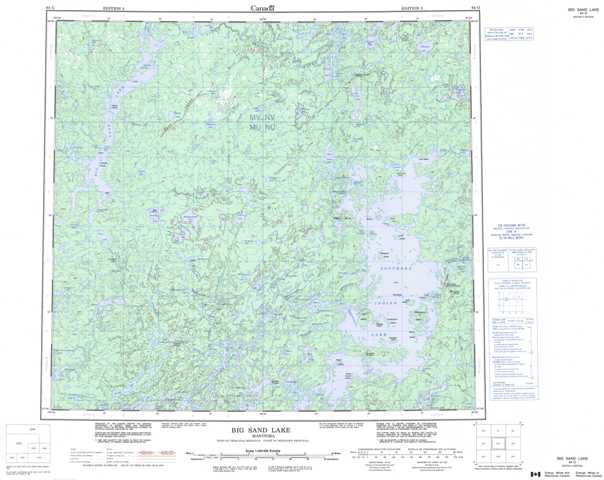
064G Big Sand Lake Topographic Maps
Maps for the Big Sand Lake map sheet 064G at 1:250,000 scale are available in 5 versions:
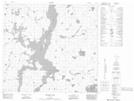
Topographic Map of Big Sand Lake
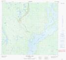
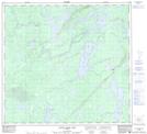
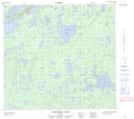
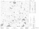
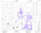
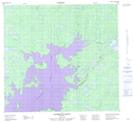
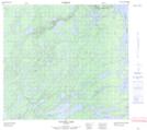
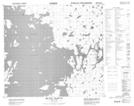
1:50,000 Scale Topos for Big Sand Lake 064G:
 |
 |
 |
 |
 |
 |
 |
 |
 |
 |
 |
 |
 |
 |
 |
 |
064G Related Maps:
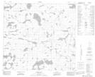
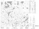
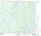
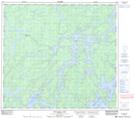
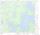
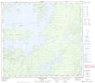
064G Big Sand Lake
064G01 Torrance Lake
064G02 Numakoos Lake
064G03 Mulcahy Lake
064G04 Grandmother Lake
064G05 James Lake
064G06 Mackerracher Lake
064G07 Nutter Lake
064G08 Missi Rapid
064G09 Hammond Point
064G10 Moss Lake
064G11 Sedgwick Lake
064G12 Hendry Lake
064G13 Maxwell Lake
064G14 Wolf Lake
064G15 Little Sand Lake
064G16 Chipewyan Lake
