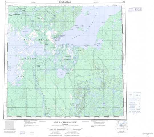
074L Fort Chipewyan Topographic Maps
Maps for the Fort Chipewyan map sheet 074L at 1:250,000 scale are available in 5 versions:
Topographic Map of Fort Chipewyan
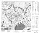
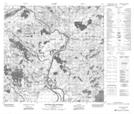
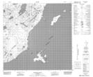
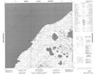
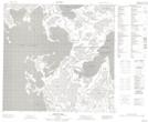
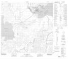
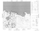
1:50,000 Scale Topos for Fort Chipewyan 074L:
 |
 |
 |
 |
 |
 |
 |
 |
 |
 |
 |
 |
 |
 |
 |
 |
074L Related Maps:
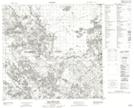
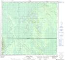
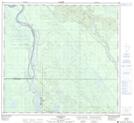
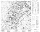
074L Fort Chipewyan
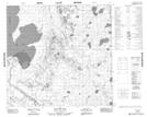
074L01 Archer Lake
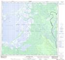
074L02 Larocque Lake
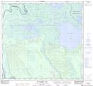
074L03 Embarras
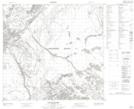
074L04 Buckton Creek
074L05 Welstead Lake
074L06 Richardson Lake
074L07 Keane Creek
074L08 Brander Lake
074L09 Old Fort Bay
074L10 Big Point
074L11 Fort Chipewyan
074L12 Hilda Lake
074L13 Baril River
074L14 Riviere Des Rochers
074L15 Bustard Island
074L16 Stone Point
074L01 Archer Lake
074L02 Larocque Lake
074L03 Embarras
074L04 Buckton Creek
074L05 Welstead Lake
074L06 Richardson Lake
074L07 Keane Creek
074L08 Brander Lake
074L09 Old Fort Bay
074L10 Big Point
074L11 Fort Chipewyan
074L12 Hilda Lake
074L13 Baril River
074L14 Riviere Des Rochers
074L15 Bustard Island
074L16 Stone Point
