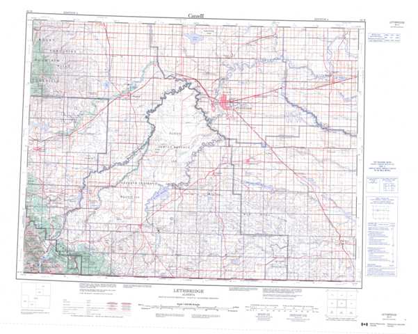
082H Lethbridge Topographic Maps
Maps for the Lethbridge map sheet 082H at 1:250,000 scale are available in 5 versions:
Topographic Map of Lethbridge
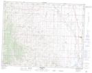
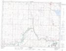
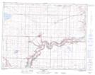
1:50,000 Scale Topos for Lethbridge 082H:
 |
 |
 |
 |
 |
 |
 |
 |
 |
 |
 |
 |
 |
 |
 |
 |
082H Related Maps:
082H Lethbridge
082H01 Milk River
082H02 Shanks Lake
082H03 Cardston
082H04 Waterton Lakes
082H05 Pincher Creek
082H06 Raley
082H07 Raymond
082H08 Warner
082H09 Chin Coulee
082H10 Lethbridge
082H11 Fort Macleod
082H12 Brocket
082H13 Granum
082H14 Monarch
082H15 Picture Butte
082H16 Taber
082H01 Milk River
082H02 Shanks Lake
082H03 Cardston
082H04 Waterton Lakes
082H05 Pincher Creek
082H06 Raley
082H07 Raymond
082H08 Warner
082H09 Chin Coulee
082H10 Lethbridge
082H11 Fort Macleod
082H12 Brocket
082H13 Granum
082H14 Monarch
082H15 Picture Butte
082H16 Taber
