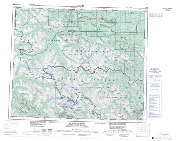
083E Mount Robson Topographic Maps
Maps for the Mount Robson map sheet 083E at 1:250,000 scale are available in 5 versions:
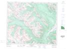
Topographic Map of Mount Robson
1:50,000 Scale Topos for Mount Robson 083E:
 |
 |
 |
 |
 |
 |
 |
 |
 |
 |
 |
 |
 |
 |
 |
 |
083E Related Maps:
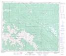
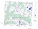
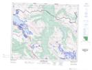
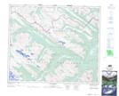
083E Mount Robson
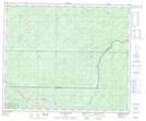
083E01 Snaring River
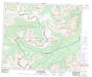
083E02 Resplendent Creek
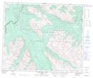
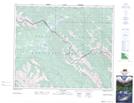
083E03 Mount Robson
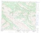
083E04 Croyden
083E05 Chalco Mountain
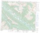
083E06 Twintree Lake
083E07 Blue Creek
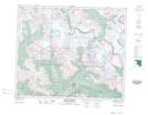
083E08 Rock Lake
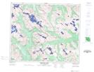
083E09 Moberly Creek
083E10 Adams Lookout
083E11 Hardscrabble Creek
083E12 Pauline Creek
083E13 Dry Canyon
083E14 Grande Cache
083E15 Pierre Greys Lakes
083E16 Donald Flats
083E01 Snaring River
083E02 Resplendent Creek
083E03 Mount Robson
083E04 Croyden
083E05 Chalco Mountain
083E06 Twintree Lake
083E07 Blue Creek
083E08 Rock Lake
083E09 Moberly Creek
083E10 Adams Lookout
083E11 Hardscrabble Creek
083E12 Pauline Creek
083E13 Dry Canyon
083E14 Grande Cache
083E15 Pierre Greys Lakes
083E16 Donald Flats
