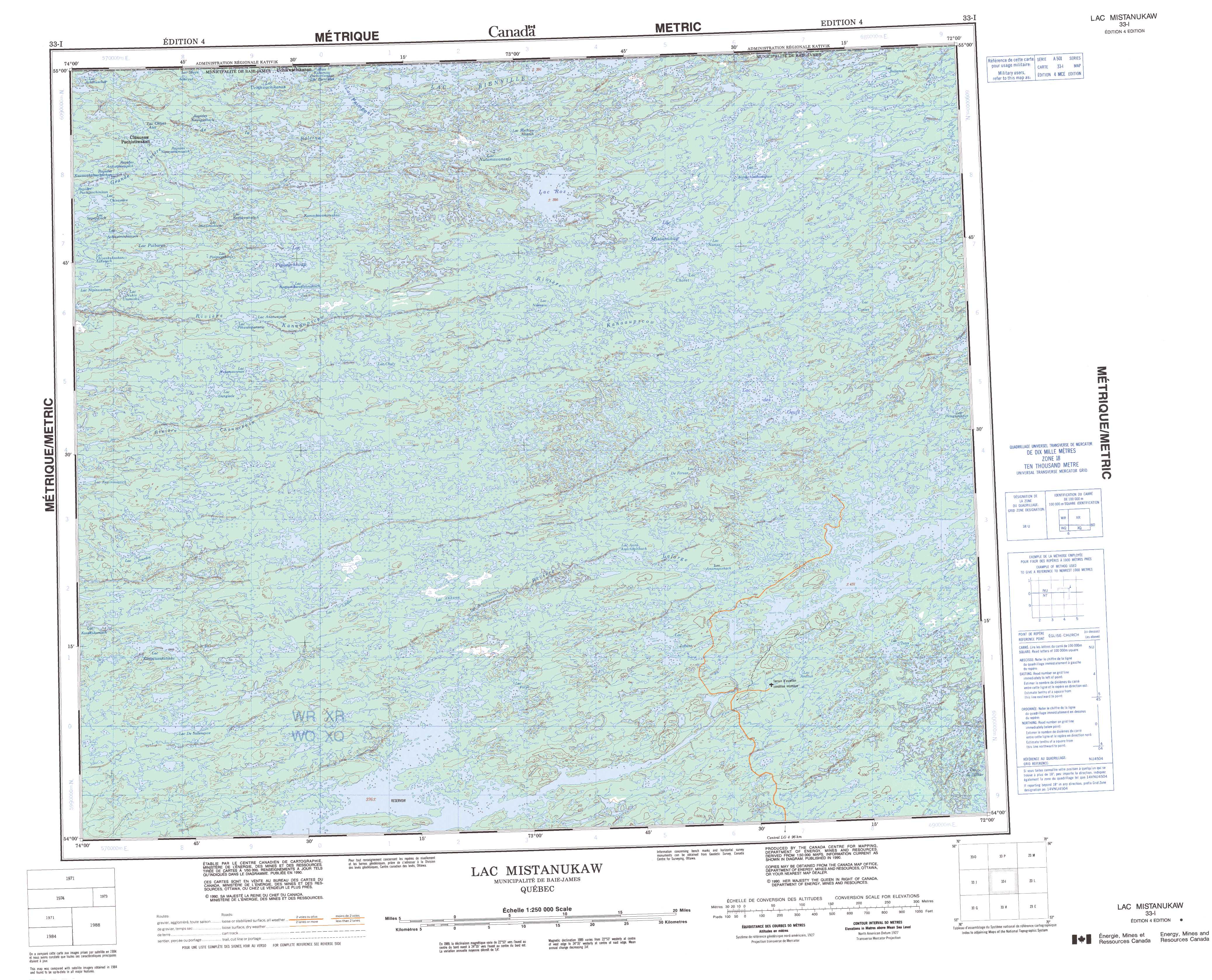
Free Lac Mistanukaw Topographic Map
Topo maps you can print: 033I Lac Mistanukaw
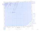
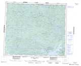
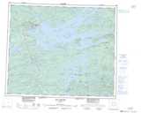
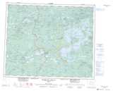
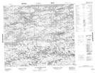
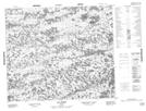
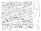
033I Lac Mistanukaw Topo Map
To view this map, mouse over the map preview on the right.
You can also download and print this topo map for free:
033I Lac Mistanukaw low-resolution printable topographic map.
A high-resolution map of Lac Mistanukaw is available on Data-DVD.
Maps for the Lac Mistanukaw map sheet 033I at 1:250,000 scale are also available in these 4 versions:
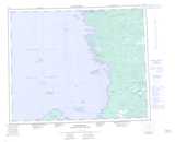
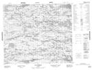
Lac Mistanukaw Surrounding Area Topographic Maps at 1:250,000 scale (NTS 033)
 |
 |
 |
 |
 |
 |
 |
 |
 |
 |
 |
 |
 |
 |
 |
 |
© Department of Natural Resources Canada. All rights reserved.
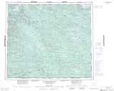
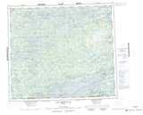
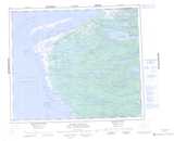
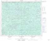
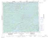
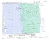
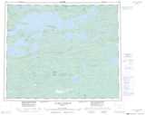
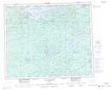
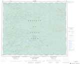
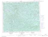
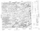
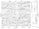
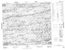
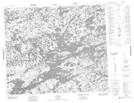
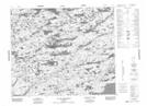
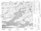
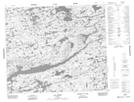
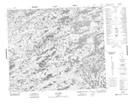
Lac Mistanukaw Topo Maps at 1:50,000 (NTS 033I)
 |
 |
 |
 |
 |
 |
 |
 |
 |
 |
 |
 |
 |
 |
 |
 |
© Department of Natural Resources Canada. All rights reserved.
© Department of Natural Resources Canada. All rights reserved.
033I Related Maps:
033I Lac Mistanukaw033I01 Lac Istre
033I02 Lac Jobert
033I03 Lac Fillye
033I04 Lac De Salleneuve
033I05 Lac Jourdin
033I06 Lac Billet
033I07 Lac De Forsan
033I08
033I09 Lac Coates
033I10 Lac Choret
033I11 Lac Chuly
033I12 Lac Danglade
033I13 Lac Puibarau
033I14 Lac Nutamawananis
033I15 Lac Roz
033I16 Lac Bellamant
