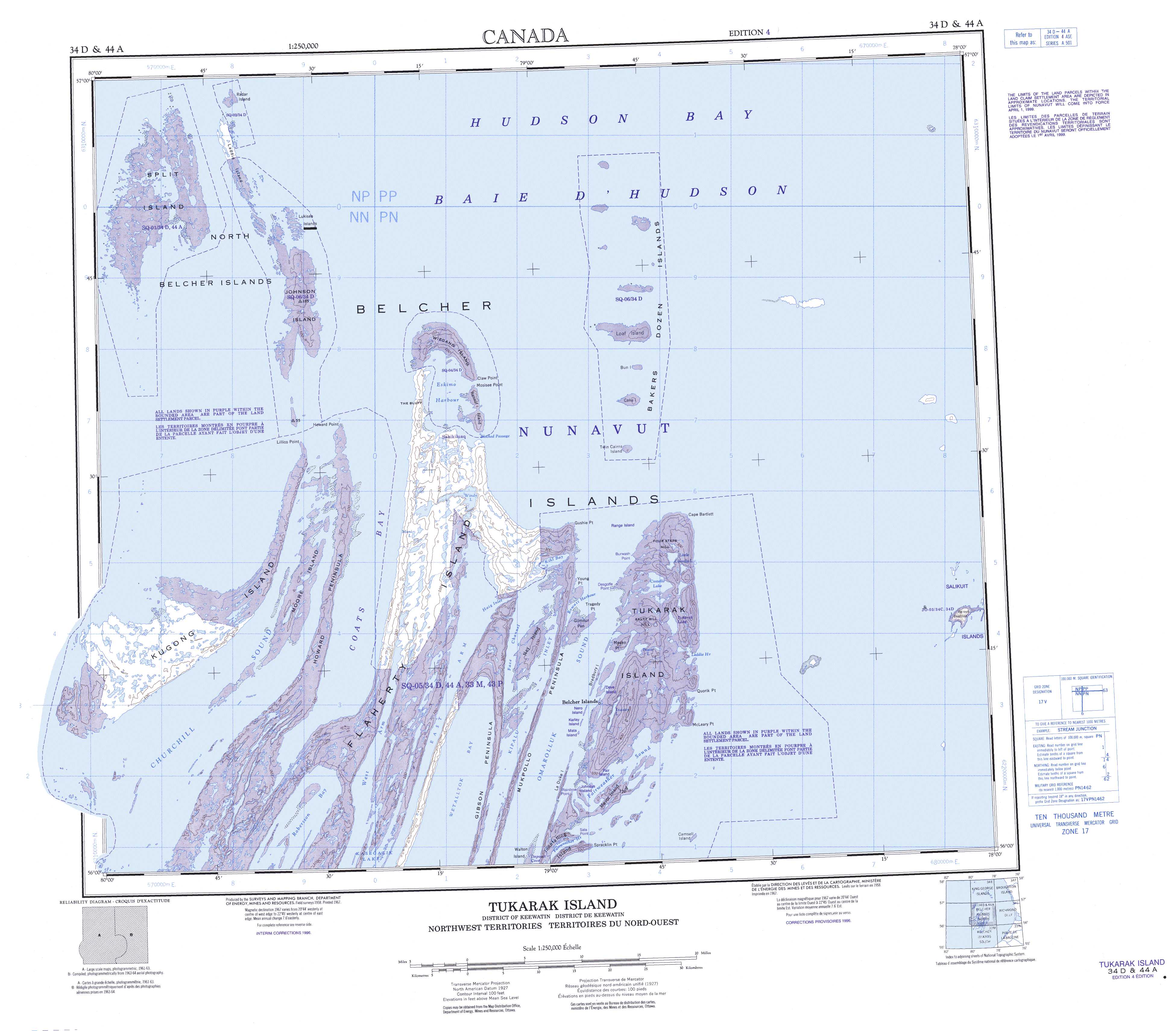
Free Tukarak Island Topographic Map
Topo maps you can print: 034D Tukarak Island
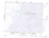
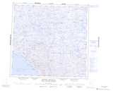
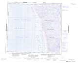
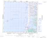
034D Tukarak Island Topo Map
To view this map, mouse over the map preview on the right.
You can also download and print this topo map for free:
034D Tukarak Island low-resolution printable topographic map.
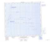
A high-resolution map of Tukarak Island is available on Data-DVD.
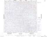
Maps for the Tukarak Island map sheet 034D at 1:250,000 scale are also available in these 4 versions:
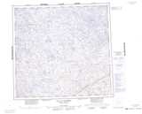
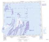
Tukarak Island Surrounding Area Topographic Maps at 1:250,000 scale (NTS 034)
 |
 |
 |
|
 |
 |
 |
 |
 |
 |
 |
 |
 |
 |
 |
 |
© Department of Natural Resources Canada. All rights reserved.
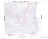
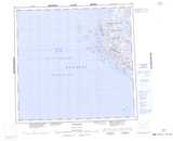
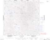
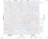
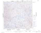
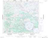
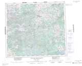
Tukarak Island Topo Maps at 1:50,000 (NTS 034D)
| |
|||
| |
|
||
| |
|
|
|
| |
|
|
© Department of Natural Resources Canada. All rights reserved.
© Department of Natural Resources Canada. All rights reserved.
034D Related Maps:
034D Tukarak Island034D02E Fairweather Sound
034D02W Fairweather Sound
034D03E Upper Wetalltok Bay
034D03W Upper Wetalltok Bay
034D04E Churchill Sound
034D04W Churchill Sound
034D05E Kugong Island
034D05W Kugong Island
034D06E East Arm
034D06W East Arm
034D07E Cape Bartlett
034D07W Cape Bartlett
034D11E Eskimo Harbour
034D11W Eskimo Harbour
034D12E Johnson Island
034D12W Johnson Island
034D13E North Belcher Islands
034D13W North Belcher Islands
