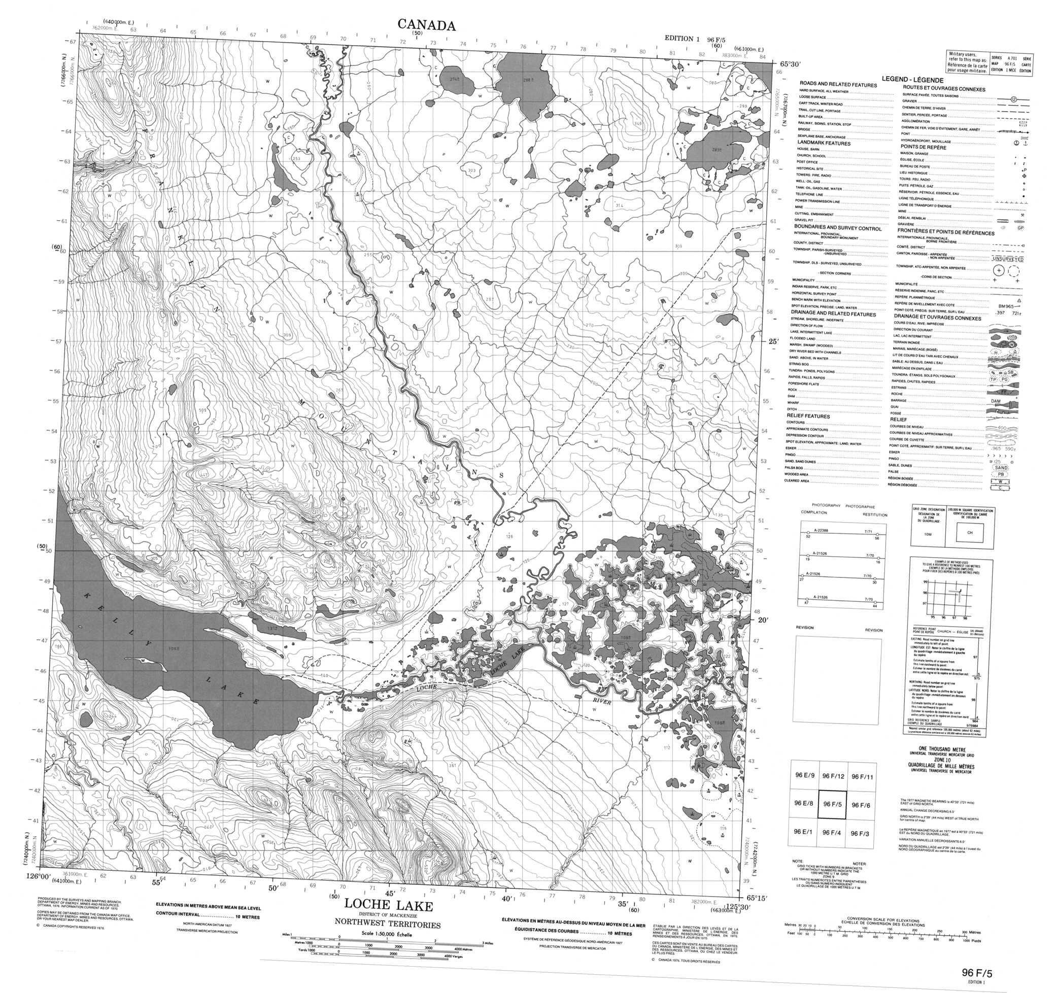
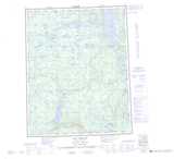
Buy Paper Map 096F05 at 1:50,000 scale
Click on map above for detailed preview
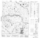
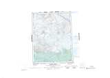
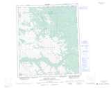
096F05 Loche Lake
Buy 1:50,000 Scale Maps of area 096F
 |
 |
 |
 |
 |
 |
 |
 |
 |
 |
 |
 |
 |
 |
 |
 |
Buy other 1:250,000 Scale Maps: NTS 096
 |
 |
 |
 |
 |
 |
 |
 |
 |
 |
 |
 |
 |
 |
 |
 |
© Department of Natural Resources Canada. All rights reserved.
Waterproof Topographic Maps
We can ship any topographic map of Canada on waterproof, synthetic material. These maps are printed on polypropylene, which is a plastic polymer. These durable maps are water and tear resistant, and can be folded. Perfect for use in the outdoors, polypropylene maps are very popular with canoers, hikers and hunters.
