Maps showing Adlatok River, Newfoundland and Labrador
Adlatok River is a River located in Newfoundland and Labrador.
- Latitude: 55° 9' 21'' North (decimal: 55.1558333)
- Longitude: 60° 37' 25'' West (decimal: -60.6236111)
- Topography Feature Category: River
- Geographical Feature: River
- Canadian Province/Territory: Newfoundland and Labrador
- Atlas of Canada Locator Map: Adlatok River
- GPS Coordinate Locator Map: Adlatok River Lat/Long
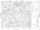
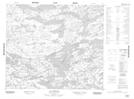
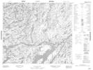
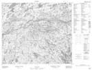
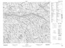
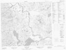
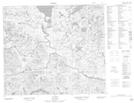
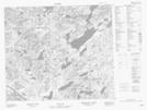
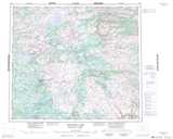
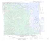
Adlatok River NTS Map Sheets
013M03 No Title Topographic Map at 1:50,000 scale
013M04 Lac Ramusio Topographic Map at 1:50,000 scale
013M06 No Title Topographic Map at 1:50,000 scale
013M07 No Title Topographic Map at 1:50,000 scale
013M08 No Title Topographic Map at 1:50,000 scale
013N02 Ugjoktok Bay Topographic Map at 1:50,000 scale
013N03 Shapio Lake Topographic Map at 1:50,000 scale
013N05 No Title Topographic Map at 1:50,000 scale
013N06 No Title Topographic Map at 1:50,000 scale
013M Mistastin Lake Topographic Map at 1:250,000 scale
013N Hopedale Topographic Map at 1:250,000 scale