Canada Topographic Maps Online
You have come to the right place, if you are looking for readily available and easily viewable topo maps of Canada.
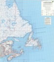
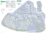
The topographic maps on this website are scanned jpeg images of the National Topographic System (NTS) of Canada paper maps, as well as those topomaps and orthoimages of the former Canada Toporama website.
All topo map images and orthoimages on CanMaps.com are:
© Department of Natural Resources Canada. All rights reserved.
New: Digital Map DVDs | Buy Topographic Paper Maps | Online Map Store
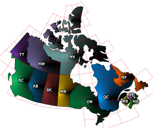
Popular Canadian Topo Maps
Below, you can find direct links to the most popular topographic maps in the country.
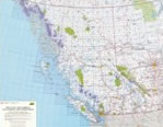
Western Canada |
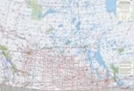
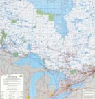
Central Canada |
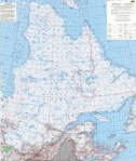
Eastern Canada |
Thank you for visiting. Enjoy traveling Canada's wilderness.