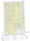
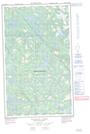
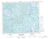
Maps showing Mount Albert, Newfoundland and Labrador
Mount Albert is a Mountain located in Newfoundland and Labrador and has an elevation of 654 meters.
- Latitude: 53° 33' 0'' North (decimal: 53.5500879)
- Longitude: 66° 40' 58'' West (decimal: -66.6826463)
- Topography Feature Category: Mountain
- Geographical Feature: Mount
- Canadian Province/Territory: Newfoundland and Labrador
- Elevation: 654 meters
- Atlas of Canada Locator Map: Mount Albert
- GPS Coordinate Locator Map: Mount Albert Lat/Long
Mount Albert NTS Map Sheets