Canada Topographic Maps

Atikonak Lake Topo Maps

Topography maps and Latitude/Longitude Location

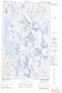
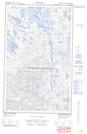
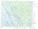
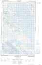
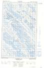
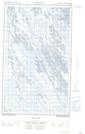
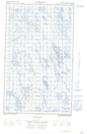
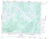
Maps showing Atikonak Lake, Newfoundland and Labrador

Atikonak Lake is a Lake located in Newfoundland and Labrador and has an elevation of 502 meters.

  • Latitude: 52° 40' 00'' North   (decimal: 52.6666666)
  • Longitude: 64° 31' 57'' West   (decimal: -64.5324999)
  • Topography Feature Category: Lake
  • Geographical Feature: Lake
  • Canadian Province/Territory: Newfoundland and Labrador
  • Elevation: 502 meters
  • Atlas of Canada Locator Map: Atikonak Lake
  • GPS Coordinate Locator Map: Atikonak Lake Lat/Long

Atikonak Lake NTS Map Sheets

023A08E No Title Topographic Map at 1:50,000 scale

023A08W No Title Topographic Map at 1:50,000 scale

023A09 Riviere Aux Pecheurs Topographic Map at 1:50,000 scale

023A10E Atikonak Lake Topographic Map at 1:50,000 scale

023A10W Atikonak Lake Topographic Map at 1:50,000 scale

023A15E No Title Topographic Map at 1:50,000 scale

023A15W No Title Topographic Map at 1:50,000 scale

023A Lac Joseph Topographic Map at 1:250,000 scale

 
Buy Topographic Maps DVD
Newsletter Sign-up

Yes, I want to receive map store discounts.


Bookmark and Share