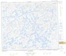
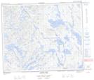
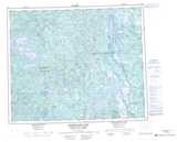
Maps showing Lac Boujonnier, Newfoundland and Labrador
Lac Boujonnier is a Lake located in Newfoundland and Labrador and has an elevation of 625 meters.
- Latitude: 53° 20' 0'' North (decimal: 53.3334226)
- Longitude: 66° 55' 58'' West (decimal: -66.9326711)
- Topography Feature Category: Lake
- Geographical Feature: Lac
- Canadian Province/Territory: Newfoundland and Labrador
- Elevation: 625 meters
- Atlas of Canada Locator Map: Lac Boujonnier
- GPS Coordinate Locator Map: Lac Boujonnier Lat/Long
Lac Boujonnier NTS Map Sheets