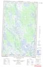
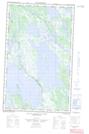
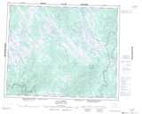
Maps showing Lac Petit Brochet, Newfoundland and Labrador
Lac Petit Brochet is a Lake located in Newfoundland and Labrador and has an elevation of 539 meters.
- Latitude: 52° 36' 00'' North (decimal: 52.5999999)
- Longitude: 65° 44' 58'' West (decimal: -65.7494444)
- Topography Feature Category: Lake
- Geographical Feature: Lac
- Canadian Province/Territory: Newfoundland and Labrador
- Elevation: 539 meters
- Atlas of Canada Locator Map: Lac Petit Brochet
- GPS Coordinate Locator Map: Lac Petit Brochet Lat/Long
Lac Petit Brochet NTS Map Sheets