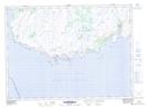
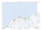
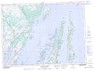
Maps showing Burin Peninsula, Newfoundland and Labrador
Burin Peninsula is a Cape located in Newfoundland and Labrador and has an elevation of 71 meters.
- Latitude: 46° 59' 58'' North (decimal: 46.9993776)
- Longitude: 55° 39' 57'' West (decimal: -55.6658332)
- Topography Feature Category: Cape
- Geographical Feature: Peninsula
- Canadian Province/Territory: Newfoundland and Labrador
- Elevation: 71 meters
- Atlas of Canada Locator Map: Burin Peninsula
- GPS Coordinate Locator Map: Burin Peninsula Lat/Long
Burin Peninsula NTS Map Sheets