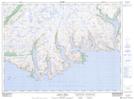
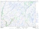
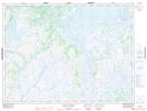
Maps showing Dolland Brook, Newfoundland and Labrador
Dolland Brook is a River located in Newfoundland and Labrador and has an elevation of 264 meters.
- Latitude: 47° 43' 30'' North (decimal: 47.7250000)
- Longitude: 56° 34' 56'' West (decimal: -56.5822222)
- Topography Feature Category: River
- Geographical Feature: Brook
- Canadian Province/Territory: Newfoundland and Labrador
- Elevation: 264 meters
- Atlas of Canada Locator Map: Dolland Brook
- GPS Coordinate Locator Map: Dolland Brook Lat/Long
Dolland Brook NTS Map Sheets