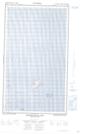
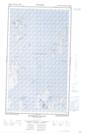
Maps showing Dunn Harbour, Newfoundland and Labrador
Dunn Harbour is a Bay located in Newfoundland and Labrador and has an elevation of 5 meters.
- Latitude: 55° 12' 54'' North (decimal: 55.2149578)
- Longitude: 58° 58' 41'' West (decimal: -58.9781893)
- Topography Feature Category: Bay
- Geographical Feature: Harbour
- Canadian Province/Territory: Newfoundland and Labrador
- Elevation: 5 meters
- Atlas of Canada Locator Map: Dunn Harbour
- GPS Coordinate Locator Map: Dunn Harbour Lat/Long
Dunn Harbour NTS Map Sheets