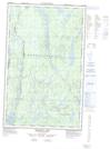
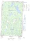
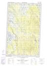
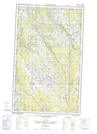
Maps showing East River, Newfoundland and Labrador
East River is a River located in Newfoundland and Labrador and has an elevation of 544 meters.
- Latitude: 52° 26' 29'' North (decimal: 52.4413888)
- Longitude: 65° 48' 13'' West (decimal: -65.8036111)
- Topography Feature Category: River
- Geographical Feature: River
- Canadian Province/Territory: Newfoundland and Labrador
- Elevation: 544 meters
- Atlas of Canada Locator Map: East River
- GPS Coordinate Locator Map: East River Lat/Long
East River NTS Map Sheets