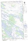
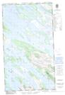
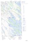
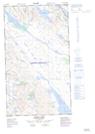
Maps showing Freeman Lake, Newfoundland and Labrador
Freeman Lake is a Lake located in Newfoundland and Labrador and has an elevation of 482 meters.
- Latitude: 54° 44' 00'' North (decimal: 54.7333333)
- Longitude: 66° 31' 57'' West (decimal: -66.5325000)
- Topography Feature Category: Lake
- Geographical Feature: Lake
- Canadian Province/Territory: Newfoundland and Labrador
- Elevation: 482 meters
- Atlas of Canada Locator Map: Freeman Lake
- GPS Coordinate Locator Map: Freeman Lake Lat/Long
Freeman Lake NTS Map Sheets