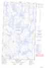
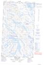
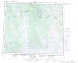
Maps showing Gauthier Lake, Newfoundland and Labrador
Gauthier Lake is a Lake located in Newfoundland and Labrador and has an elevation of 503 meters.
- Latitude: 54° 54' 15'' North (decimal: 54.9042834)
- Longitude: 65° 53' 38'' West (decimal: -65.8939875)
- Topography Feature Category: Lake
- Geographical Feature: Lake
- Canadian Province/Territory: Newfoundland and Labrador
- Elevation: 503 meters
- Atlas of Canada Locator Map: Gauthier Lake
- GPS Coordinate Locator Map: Gauthier Lake Lat/Long
Gauthier Lake NTS Map Sheets