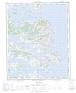
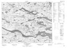
Maps showing Gilbert Bay, Newfoundland and Labrador
Gilbert Bay is a Bay located in Newfoundland and Labrador and has an elevation of 3 meters.
- Latitude: 52° 37' 45'' North (decimal: 52.6290723)
- Longitude: 55° 58' 17'' West (decimal: -55.9713141)
- Topography Feature Category: Bay
- Geographical Feature: Bay
- Canadian Province/Territory: Newfoundland and Labrador
- Elevation: 3 meters
- Atlas of Canada Locator Map: Gilbert Bay
- GPS Coordinate Locator Map: Gilbert Bay Lat/Long
Gilbert Bay NTS Map Sheets

003D Map Not Available Topographic Map at 1:250,000 scale
