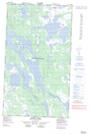
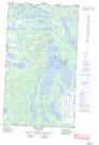
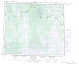
Maps showing Gill Lake, Newfoundland and Labrador
Gill Lake is a Lake located in Newfoundland and Labrador and has an elevation of 483 meters.
- Latitude: 54° 41' 41'' North (decimal: 54.6947431)
- Longitude: 65° 34' 23'' West (decimal: -65.5730239)
- Topography Feature Category: Lake
- Geographical Feature: Lake
- Canadian Province/Territory: Newfoundland and Labrador
- Elevation: 483 meters
- Atlas of Canada Locator Map: Gill Lake
- GPS Coordinate Locator Map: Gill Lake Lat/Long
Gill Lake NTS Map Sheets