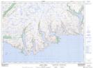
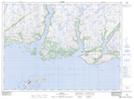
Maps showing Grey River, Newfoundland and Labrador
Grey River is a River located in Newfoundland and Labrador and has an elevation of 112 meters.
- Latitude: 47° 34' 27'' North (decimal: 47.5741666)
- Longitude: 57° 6' 42'' West (decimal: -57.1116666)
- Topography Feature Category: River
- Geographical Feature: River
- Canadian Province/Territory: Newfoundland and Labrador
- Elevation: 112 meters
- Atlas of Canada Locator Map: Grey River
- GPS Coordinate Locator Map: Grey River Lat/Long
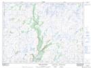
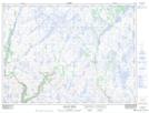
Grey River NTS Map Sheets
011P10 Cape La Hune Topographic Map at 1:50,000 scale
011P11 Ramea Topographic Map at 1:50,000 scale
011P14 White Bear River Topographic Map at 1:50,000 scale
011P15 Dolland Brook Topographic Map at 1:50,000 scale
012A02 Wolf Mountain Topographic Map at 1:50,000 scale
011P Burgeo Topographic Map at 1:250,000 scale
012A Red Indian Lake Topographic Map at 1:250,000 scale