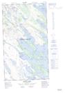
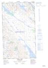
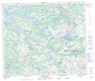
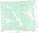
Maps showing Howells River, Newfoundland and Labrador
Howells River is a River located in Newfoundland and Labrador and has an elevation of 497 meters.
- Latitude: 54° 35' 15'' North (decimal: 54.5875966)
- Longitude: 66° 39' 42'' West (decimal: -66.6617709)
- Topography Feature Category: River
- Geographical Feature: River
- Canadian Province/Territory: Newfoundland and Labrador
- Elevation: 497 meters
- Atlas of Canada Locator Map: Howells River
- GPS Coordinate Locator Map: Howells River Lat/Long
Howells River NTS Map Sheets
023J10E Stakit Lake Topographic Map at 1:50,000 scale
023J10W Stakit Lake Topographic Map at 1:50,000 scale
023J11 Lac Clugny Topographic Map at 1:50,000 scale
023J14 Elross Lake Topographic Map at 1:50,000 scale
023O03E Lac De La Frontiere Topographic Map at 1:50,000 scale
023O03W Lac De La Frontiere Topographic Map at 1:50,000 scale
023J Schefferville Topographic Map at 1:250,000 scale
023O Lac Wakuach Topographic Map at 1:250,000 scale