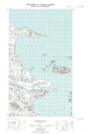
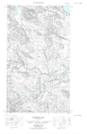
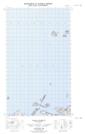
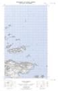
Maps showing Indian Harbour, Newfoundland and Labrador
Indian Harbour is a Bay located in Newfoundland and Labrador.
- Latitude: 53° 47' 48'' North (decimal: 53.7967306)
- Longitude: 56° 59' 42'' West (decimal: -56.9949786)
- Topography Feature Category: Bay
- Geographical Feature: Harbour
- Canadian Province/Territory: Newfoundland and Labrador
- Atlas of Canada Locator Map: Indian Harbour
- GPS Coordinate Locator Map: Indian Harbour Lat/Long
Indian Harbour NTS Map Sheets
013H14E Trunmore Bay Topographic Map at 1:50,000 scale
013H14W Trunmore Bay Topographic Map at 1:50,000 scale
013H15E Packs Harbour Topographic Map at 1:50,000 scale
013H15W Packs Harbour Topographic Map at 1:50,000 scale
013H Cartwright Topographic Map at 1:250,000 scale
013H14W Trunmore Bay Topographic Map at 1:50,000 scale
013H15E Packs Harbour Topographic Map at 1:50,000 scale
013H15W Packs Harbour Topographic Map at 1:50,000 scale
013H Cartwright Topographic Map at 1:250,000 scale