Maps showing Kanairiktok River, Newfoundland and Labrador
Kanairiktok River is a River located in Newfoundland and Labrador and has an elevation of 54 meters.
- Latitude: 55° 1' 15'' North (decimal: 55.0208333)
- Longitude: 60° 17' 42'' West (decimal: -60.2950000)
- Topography Feature Category: River
- Geographical Feature: River
- Canadian Province/Territory: Newfoundland and Labrador
- Elevation: 54 meters
- Atlas of Canada Locator Map: Kanairiktok River
- GPS Coordinate Locator Map: Kanairiktok River Lat/Long
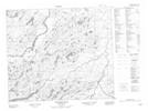
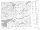
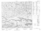
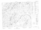
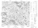
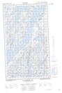
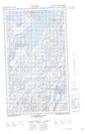
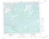
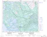
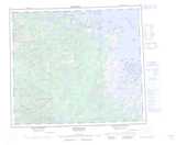
Kanairiktok River NTS Map Sheets
013K10 Kaipokok River Topographic Map at 1:50,000 scale
013K11 Snegamook Lake Topographic Map at 1:50,000 scale
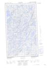
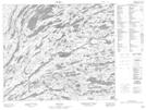
013K12 No Title Topographic Map at 1:50,000 scale
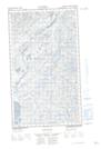
013K15 No Title Topographic Map at 1:50,000 scale
013K16E No Title Topographic Map at 1:50,000 scale
013K16W No Title Topographic Map at 1:50,000 scale
013L06 Proof Lake Topographic Map at 1:50,000 scale
013L07 Bibikwasin Lake Topographic Map at 1:50,000 scale
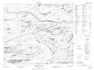
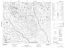
013L08 No Title Topographic Map at 1:50,000 scale
013L09 Shipiskan Lake Topographic Map at 1:50,000 scale
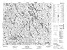
013L11 Fazy Lake Topographic Map at 1:50,000 scale
013L12 Spot Lake Topographic Map at 1:50,000 scale
013L13 Ethyl Lake Topographic Map at 1:50,000 scale
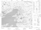
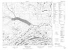
013N01E Kanairiktok Bay Topographic Map at 1:50,000 scale
013N01W Kanairiktok Bay Topographic Map at 1:50,000 scale
013K Snegamook Lake Topographic Map at 1:250,000 scale
013L Red Wine Lake Topographic Map at 1:250,000 scale
013N Hopedale Topographic Map at 1:250,000 scale