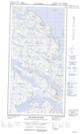
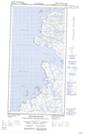
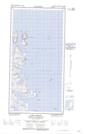
Maps showing Killinek Island, Newfoundland and Labrador
Killinek Island is a Island located in Newfoundland and Labrador.
- Latitude: 60° 21' 0'' North (decimal: 60.3500000)
- Longitude: 64° 31' 27'' West (decimal: -64.5241666)
- Topography Feature Category: Island
- Geographical Feature: Island
- Canadian Province/Territory: Newfoundland and Labrador
- GPS Coordinate Locator Map: Killinek Island Lat/Long
Killinek Island NTS Map Sheets