Maps showing Kings Bay, Newfoundland and Labrador
Kings Bay is a Bay located in Newfoundland and Labrador.
- Latitude: 54° 58' 3'' North (decimal: 54.9675537)
- Longitude: 58° 40' 47'' West (decimal: -58.6797842)
- Topography Feature Category: Bay
- Geographical Feature: Bay
- Canadian Province/Territory: Newfoundland and Labrador
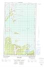
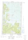
- Atlas of Canada Locator Map: Kings Bay
- GPS Coordinate Locator Map: Kings Bay Lat/Long
Kings Bay NTS Map Sheets