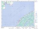
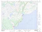
Maps showing L'Anse-au-Loup, Newfoundland and Labrador
L'Anse-au-Loup is a Town located in Newfoundland and Labrador and has an elevation of 18 meters.
- Latitude: 51° 31' 33'' North (decimal: 51.5258471)
- Longitude: 56° 50' 6'' West (decimal: -56.8349305)
- Topography Feature Category: Town
- Geographical Feature: Town
- Canadian Province/Territory: Newfoundland and Labrador
- Elevation: 18 meters
- Atlas of Canada Locator Map: L'Anse-au-Loup
- GPS Coordinate Locator Map: L'Anse-au-Loup Lat/Long
L'Anse-au-Loup NTS Map Sheets