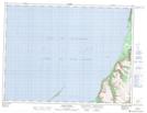
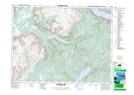
Maps showing Lewis Hills, Newfoundland and Labrador
Lewis Hills is a Mountain located in Newfoundland and Labrador and has an elevation of 581 meters.
- Latitude: 48° 47' 52'' North (decimal: 48.7977777)
- Longitude: 58° 30' 22'' West (decimal: -58.5061111)
- Topography Feature Category: Mountain
- Geographical Feature: Hills
- Canadian Province/Territory: Newfoundland and Labrador
- Elevation: 581 meters
- Atlas of Canada Locator Map: Lewis Hills
- GPS Coordinate Locator Map: Lewis Hills Lat/Long
Lewis Hills NTS Map Sheets