Canada Topographic Maps

Lloyds River Topo Maps

Topography maps and Latitude/Longitude Location

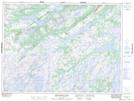
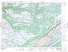
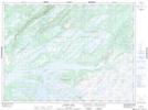
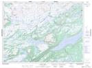
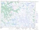
Maps showing Lloyds River, Newfoundland and Labrador

Lloyds River is a River located in Newfoundland and Labrador and has an elevation of 272 meters.

  • Latitude: 48° 32' 41'' North   (decimal: 48.5447222)
  • Longitude: 57° 13' 17'' West   (decimal: -57.2213888)
  • Topography Feature Category: River
  • Geographical Feature: River
  • Canadian Province/Territory: Newfoundland and Labrador
  • Elevation: 272 meters
  • Atlas of Canada Locator Map: Lloyds River
  • GPS Coordinate Locator Map: Lloyds River Lat/Long

Lloyds River NTS Map Sheets

012A04 King George Iv Lake Topographic Map at 1:50,000 scale

012A05 Puddle Pond Topographic Map at 1:50,000 scale

012A06 Victoria Lake Topographic Map at 1:50,000 scale

012A11 Star Lake Topographic Map at 1:50,000 scale

012B01 Dashwoods Pond Topographic Map at 1:50,000 scale

012A Red Indian Lake Topographic Map at 1:250,000 scale

012B Stephenville Topographic Map at 1:250,000 scale

 
Buy Topographic Maps DVD
Newsletter Sign-up

Yes, I want to receive map store discounts.


Bookmark and Share