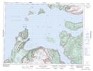
Maps showing Low Spit, Newfoundland and Labrador
Low Spit is a Cape located in Newfoundland and Labrador.
- Latitude: 49° 5' 59'' North (decimal: 49.0997222)
- Longitude: 58° 22' 15'' West (decimal: -58.3708333)
- Topography Feature Category: Cape
- Geographical Feature: Spit
- Canadian Province/Territory: Newfoundland and Labrador
- Atlas of Canada Locator Map: Low Spit
- GPS Coordinate Locator Map: Low Spit Lat/Long
Low Spit NTS Map Sheets