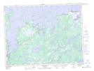
Maps showing Mann Point, Newfoundland and Labrador
Mann Point is a Unincorporated area located in Newfoundland and Labrador.
- Latitude: 49° 21' 30'' North (decimal: 49.3583333)
- Longitude: 54° 25' 57'' West (decimal: -54.4325000)
- Topography Feature Category: Unincorporated area
- Geographical Feature: Settlement
- Canadian Province/Territory: Newfoundland and Labrador
- GPS Coordinate Locator Map: Mann Point Lat/Long
Mann Point NTS Map Sheets